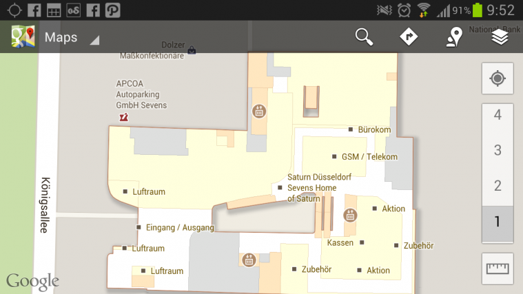
It happens many a times that we are able to use Google Maps to comfortably navigate our way to an airport in a new city, only to find that we are as lost in the huge terminal of the airport as we were when we started out on the journey. That’s where Indoor Google Maps steps in.
While most locations such as airports, shopping malls and public buildings like these usually offer an orientation map which lets you determine where you are with respect to surrounding points of interest at that location, it is still easy to get lost inside a building. Indoor Google Maps helps users orient themselves better within an unfamiliar building. And if you’re and Android user, just fire up Google Maps on your phone or tablet and it will automatically help you navigate the innards of the building, if an indoor map for that particular building is available.
In fact, Indoor Google Maps is so intuitive that should you move to a different the floor within a building, the map will automatically orient itself to your floor level and present relevant data. Of course, Google is dependent on the authorities of such public buildings as museums, shopping malls etc, to upload their floor plans to Google’s servers so that they can be included in Indoor Maps.
While there is already a pretty decent list of locations in Germany to start with, that support Indoor Maps, it is likely that now that it’s officially launched, the list will continue to grow rapidly. You can check out the list of supported locations in Europe sorted by country on the official Google Indoor Maps support page.
And to get a better idea of how Google Indoor Maps makes your life and travel easier, check out this short video clip.
Via MobileGeeks


